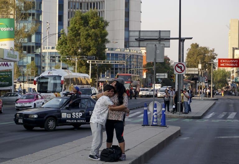
MEXICO CITY — A 7.2-magnitude earthquake struck Mexico’s southern Pacific Coast on Friday night, according to the United States Geological Survey.
The quake was reported at 5:39 p.m. local time, shaking buildings about 225 miles away in Mexico City, where the memory of the Sept. 19 earthquake that killed hundreds is still fresh. The tremors left tall buildings swaying for more than two minutes.
The epicenter of the quake was near the town of Pinotepa Nacional, in the Pacific state of Oaxaca.
Luis Felipe Puente, Mexico’s national coordinator of civil protection, wrote on Twitter that there were no immediate reports of major damage. In Oaxaca, the state director of civil protection, Heliodoro Díaz Escárraga, said that homes were damaged in the town of Santa María Chimalapas and walls fell in the town of Jamiltepec.
In the capital, residents streamed from buildings onto the streets, texting to see if their loved ones were safe, launched by a sense of dread just a few months old.
Last September’s seismic eruption has left people frightened at the slightest tremor, and the tears in the faces of those who endured the last major quake were easy to spot on the streets of Condesa, a neighborhood hard hit the last time around.
The epicenter of Friday’s earthquake was between those of a magnitude-8.2 quake on Sept. 8 and the 7.1-magnitude quake on Sept. 19. But from a geological standpoint, all three occurred in the same general area — a so-called subduction zone, where one piece of the earth’s crust, in this case the Cocos Plate, is slowly sliding under another, the North American.
Like other subduction zones around the Pacific and elsewhere, this region is the source of many earthquakes, some of them very strong and destructive. The movement of the two plates relative to each other is very slow — about 2 to 3 inches a year — but it causes stresses to build, either at the boundary between the two plates or, as was the case with the September quakes, within one of them. At some point the stresses become too much and the rock formations slip, releasing energy as an earthquake.
A few hours after Friday’s quake, the United States Geological Survey released a brief initial analysis, saying that it occurred “on or near” the boundary between the two plates, and about 55 miles north of the Middle America Trench, where the Cocos begins its slide beneath the North America plate.
